Hurricane.com – tracking the Tropics since 1994.
“Run from the water; hide from the wind.” Since 1994 Hurricane.com has been providing hurricane/tropical cyclone related information for the Atlantic and Pacific basins. Our philosophy has been to provide timely, relevant, and useful information in a format that provides the most information in the least bandwidth intensive format. Since 1978 we’ve been tracking storms.
The Atlantic Hurricane season started on June 1.The Pacific Hurricane season started on May 15.


-
There are no tropical cyclones at this time.
by nhcwebmaster@noaa.gov (NHC Webmaster) on July 21, 2025 at 5:29 pm
No tropical cyclones as of Sun, 20 Jul 2025 07:00:06 GMT
-
Atlantic Tropical Weather Outlook
by nhcwebmaster@noaa.gov (NHC Webmaster) on July 20, 2025 at 5:29 am
118 ABNT20 KNHC 200529TWOAT Tropical Weather OutlookNWS National Hurricane Center Miami FL200 AM EDT Sun Jul 20 2025For the North Atlantic...Caribbean Sea and the Gulf of America:Central Tropical Atlantic:A tropical wave located about 1150 miles east-southeast of Barbados is producing disorganized showers and thunderstorms. Environmental conditions appear only marginally conducive for development during the next day or so as the system moves northwestward around 10 mph. By the middle of the week, environmental conditions are forecast to become unfavorable for further development.* Formation chance through 48 hours...low...10 percent.* Formation chance through 7 days...low...10 percent.$$Forecaster Jelsema


-
There are no tropical cyclones at this time.
by nhcwebmaster@noaa.gov (NHC Webmaster) on July 21, 2025 at 5:29 pm
No tropical cyclones as of Sun, 20 Jul 2025 07:00:06 GMT
-
Atlantic Tropical Weather Outlook
by nhcwebmaster@noaa.gov (NHC Webmaster) on July 20, 2025 at 5:29 am
118 ABNT20 KNHC 200529TWOAT Tropical Weather OutlookNWS National Hurricane Center Miami FL200 AM EDT Sun Jul 20 2025For the North Atlantic...Caribbean Sea and the Gulf of America:Central Tropical Atlantic:A tropical wave located about 1150 miles east-southeast of Barbados is producing disorganized showers and thunderstorms. Environmental conditions appear only marginally conducive for development during the next day or so as the system moves northwestward around 10 mph. By the middle of the week, environmental conditions are forecast to become unfavorable for further development.* Formation chance through 48 hours...low...10 percent.* Formation chance through 7 days...low...10 percent.$$Forecaster Jelsema
-
There are no tropical cyclones at this time.
by nhcwebmaster@noaa.gov (NHC Webmaster) on July 21, 2025 at 5:45 pm
No tropical cyclones as of Sun, 20 Jul 2025 07:00:06 GMT
-
Eastern North Pacific Tropical Weather Outlook
by nhcwebmaster@noaa.gov (NHC Webmaster) on July 20, 2025 at 5:45 am
417 ABPZ20 KNHC 200544TWOEP Tropical Weather OutlookNWS National Hurricane Center Miami FL1100 PM PDT Sat Jul 19 2025For the eastern and central North Pacific east of 180 longitude:Well Southwest of the Baja California Peninsula: A large area of disorganized showers and thunderstorms located about 1350 miles southwest of the Baja California peninsula is associated with a tropical wave. Environmental conditions appear only marginally conducive for development during the next day or two as the system moves westward at 10 to 15 mph. By the early to middle part of next week, conditions are expected to become unfavorable for further development.* Formation chance through 48 hours...low...20 percent. * Formation chance through 7 days...low...20 percent. $$Forecaster Jelsema


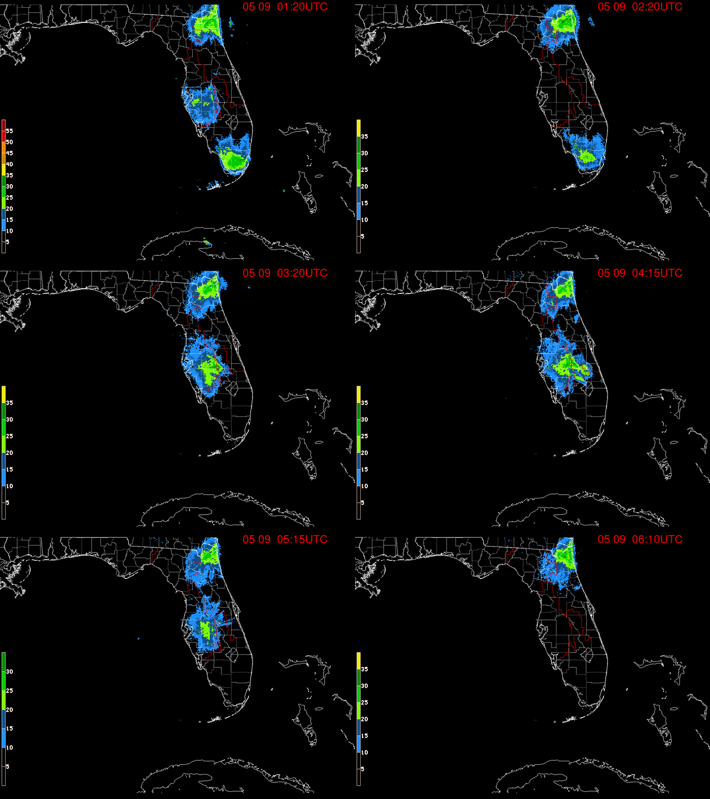
Caribbean, Puerto Rico, Gulf, Florida, Eastern US hurricane radar and satellite views


Eastern Atlantic hurricane radar and satellite views


US radar, satellite views and forecasts


US satellite views


Hawaii / Pacific hurricane radar and satellite views


Full Disk hurricane radar and satellite views


Hurricane Maps and Hurricane Projections


Some more interesting views


Have some more? Let us know in the comments below.
=======
Information:
Eastern Pacific Tropical Cyclones:

Recent Comments