
Hurricane.com – tracking the Tropics since 1994.
“Run from the water; hide from the wind.” Since 1994 Hurricane.com has been providing hurricane/tropical cyclone related information for the Atlantic and Pacific basins. Our philosophy has been to provide timely, relevant, and useful information in a format that provides the most information in the least bandwidth intensive format. Since 1978 we’ve been tracking storms.
The Atlantic Hurricane season started on June 1.The Pacific Hurricane season started on May 15.











-
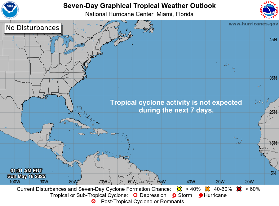
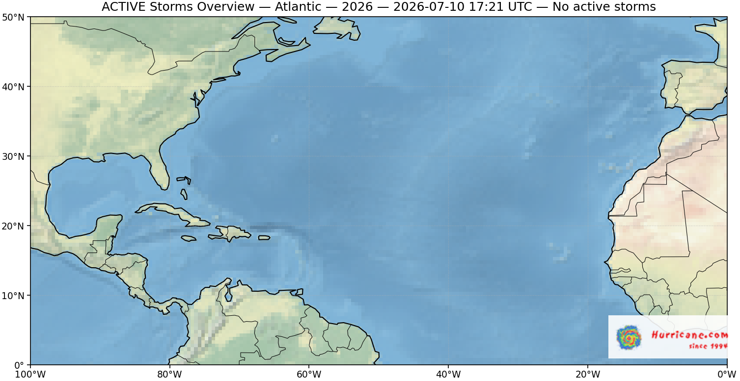
There are no tropical cyclones at this time.
by nhcwebmaster@noaa.gov (NHC Webmaster) on October 25, 2026 at 11:01 am
No tropical cyclones as of Sat, 24 Oct 2026 02:12:00 GMT
-
Atlantic Tropical Weather Outlook
by nhcwebmaster@noaa.gov (NHC Webmaster) on October 23, 2026 at 11:01 pm
000ABNT20 KNHC 232301TWOAT Tropical Weather OutlookNWS National Hurricane Center Miami FL800 PM EDT Fri Oct 23 2026For the North Atlantic...Caribbean Sea and the Gulf of America:Tropical cyclone formation is not expected during the next 7 days.$$Forecaster Gibbs




-
Hurricane Vance Graphics
by nhcwebmaster@noaa.gov (NHC Webmaster) on October 23, 2026 at 9:23 pm
Wind Speed Probabilities last updated Fri, 23 Oct 2026 21:23:04 GMT
-
Hurricane Vance Public Advisory Number 10
by nhcwebmaster@noaa.gov (NHC Webmaster) on October 23, 2026 at 8:39 pm
Issued at 300 PM CST Fri Oct 23 2026 147 WTPZ32 KNHC 232038 TCPEP2 BULLETIN Hurricane Vance Advisory Number 10 NWS National Hurricane Center Miami FL EP222026 300 PM CST Fri Oct 23 2026 ...VANCE STRENGTHENING QUICKLY AND COULD BECOME A MAJOR HURRICANE TONIGHT... SUMMARY OF 300 PM CST...2100 UTC...INFORMATION ---------------------------------------------- LOCATION...11.2N 102.3W ABOUT 425 MI...685 KM SSW OF ACAPULCO MEXICO ABOUT 555 MI...895 KM SSE OF MANZANILLO MEXICO MAXIMUM SUSTAINED WINDS...105 MPH...165 KM/H PRESENT MOVEMENT...NW OR 325 DEGREES AT 5 MPH...7 KM/H MINIMUM CENTRAL PRESSURE...971 MB...28.68 INCHES WATCHES AND WARNINGS -------------------- There are no coastal watches or warnings in effect. Interests along the southwestern coast of Mexico should monitor the progress of Vance. DISCUSSION AND OUTLOOK ---------------------- At 300 PM CST (2100 UTC), the center of Hurricane Vance was located near latitude 11.2 North, longitude 102.3 West. Vance is moving toward the northwest near 5 mph (7 km/h). A slow motion toward the north-northwest or northwest is expected to continue through the weekend. Maximum sustained winds have increased to near 105 mph (165 km/h) with higher gusts. Steady to rapid strengthening is expected through tonight, and Vance is forecast to become a major hurricane. After that, slow weakening is forecast to start on Saturday night and continue through Sunday. Hurricane-force winds extend outward up to 35 miles (55 km) from the center and tropical-storm-force winds extend outward up to 205 miles (335 km). The estimated minimum central pressure is 971 mb (28.68 inches). HAZARDS AFFECTING LAND ---------------------- SURF: Swells generated by Vance are expected to begin affecting portions of the coast of […]

Caribbean, Puerto Rico, Gulf, Florida, Eastern US hurricane radar and satellite views


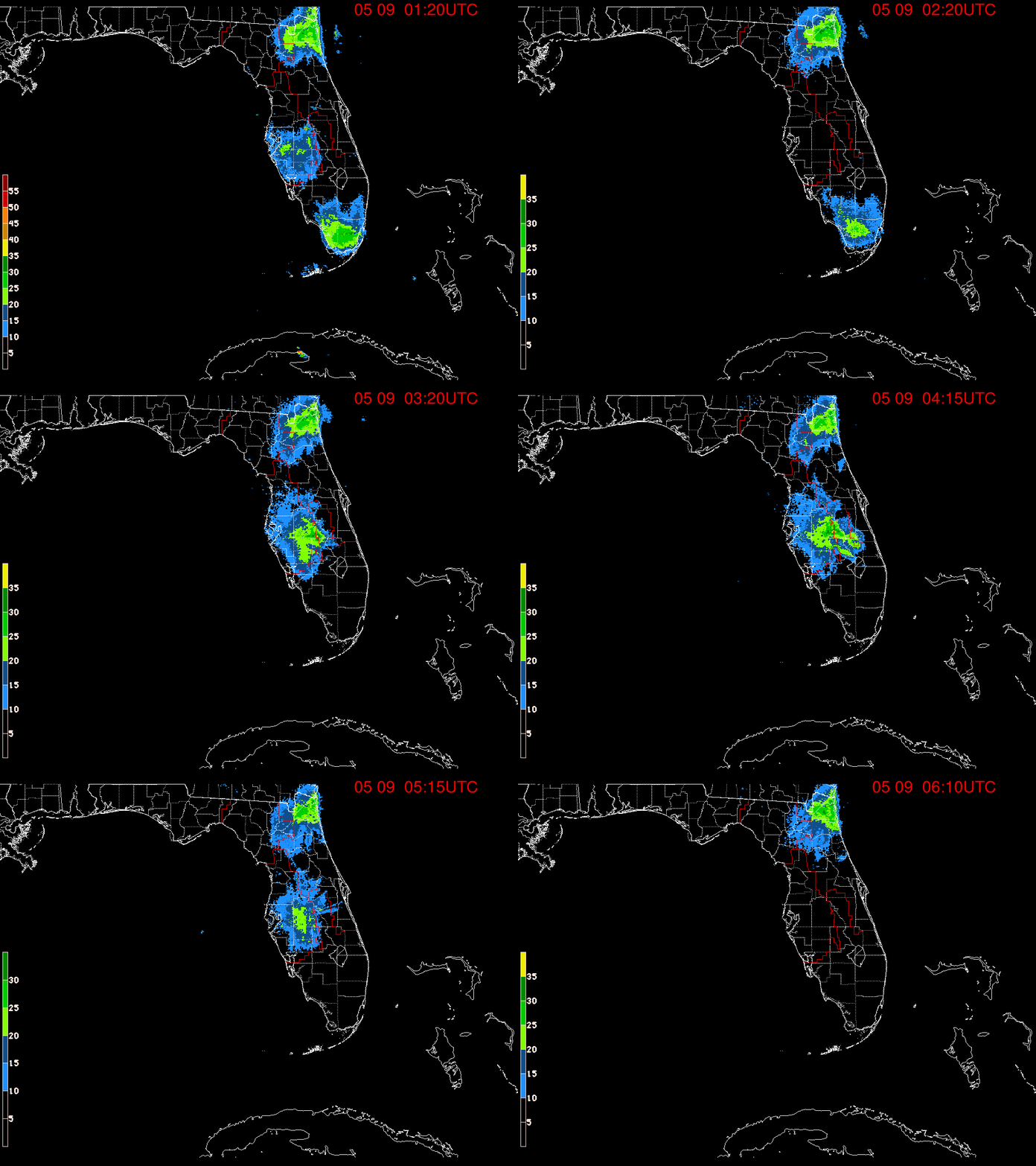



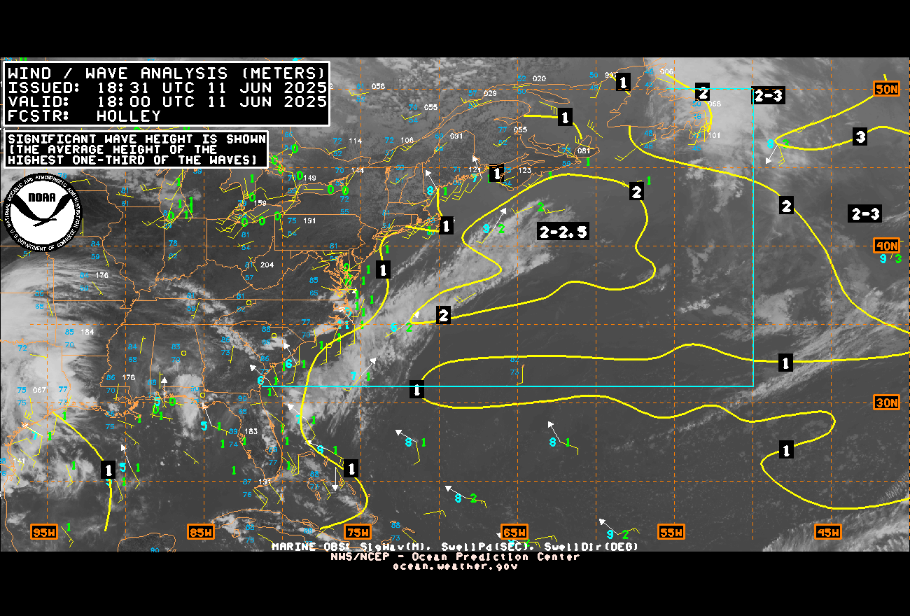
Eastern Atlantic hurricane radar and satellite views


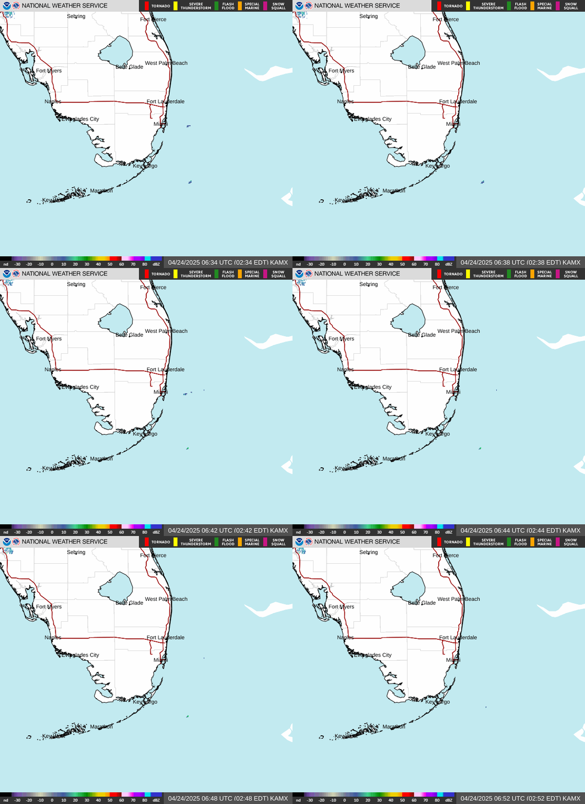
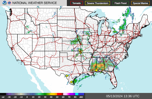
US radar, satellite views and forecasts
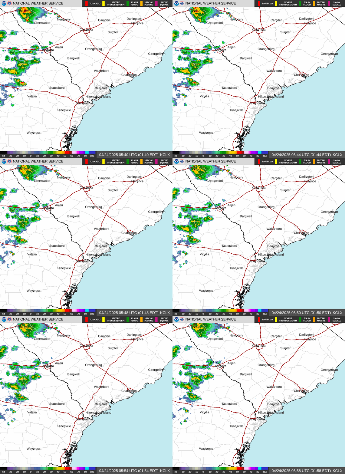
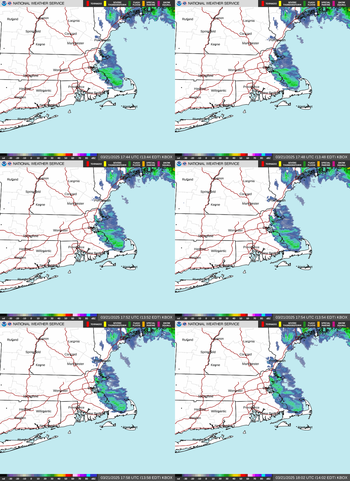


US satellite views


Hawaii / Pacific hurricane radar and satellite views

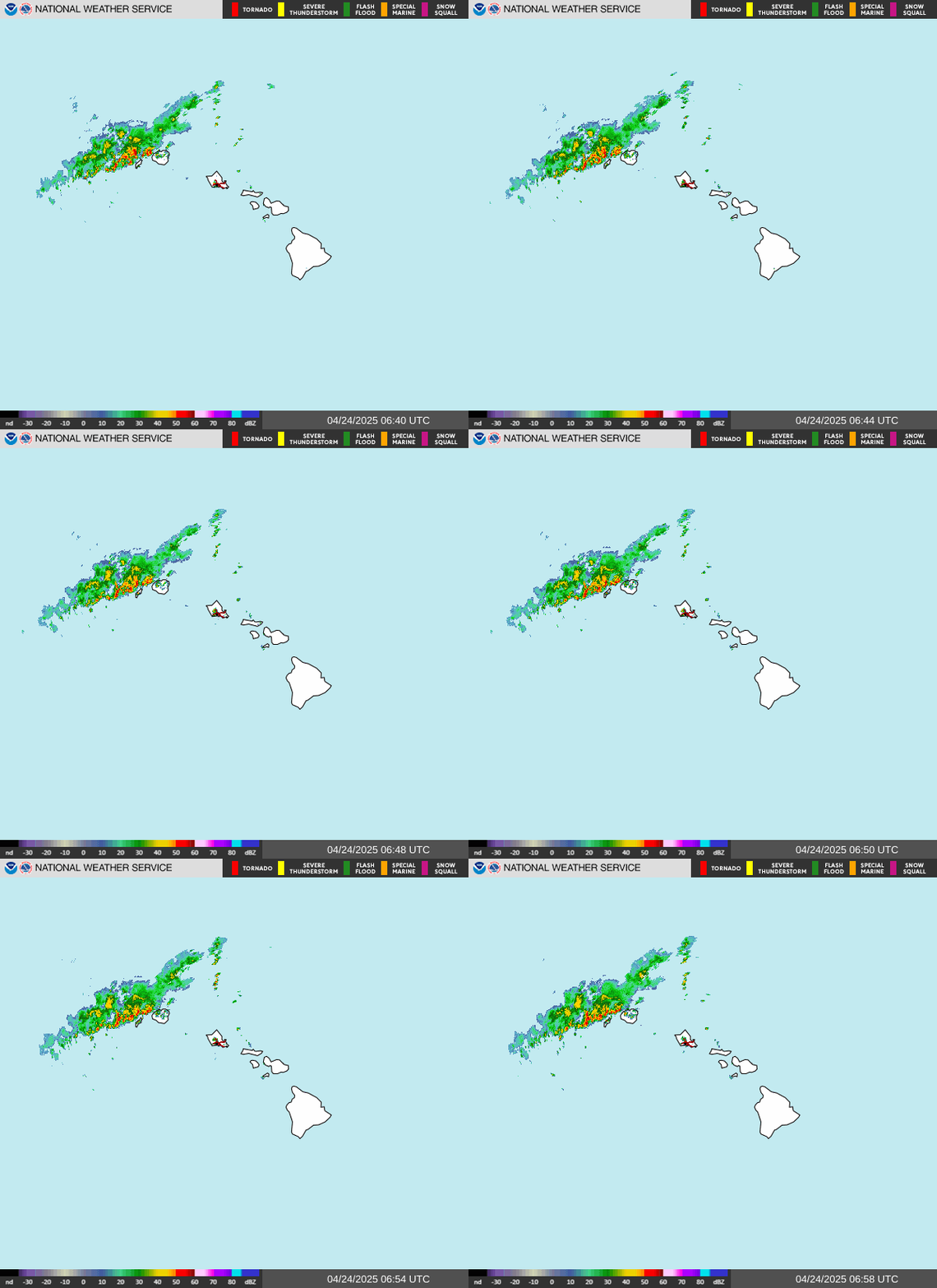


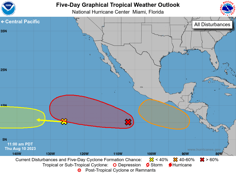
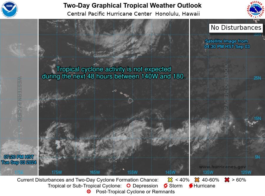
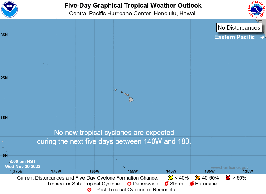
Full Disk hurricane radar and satellite views


Hurricane Maps and Hurricane Projections



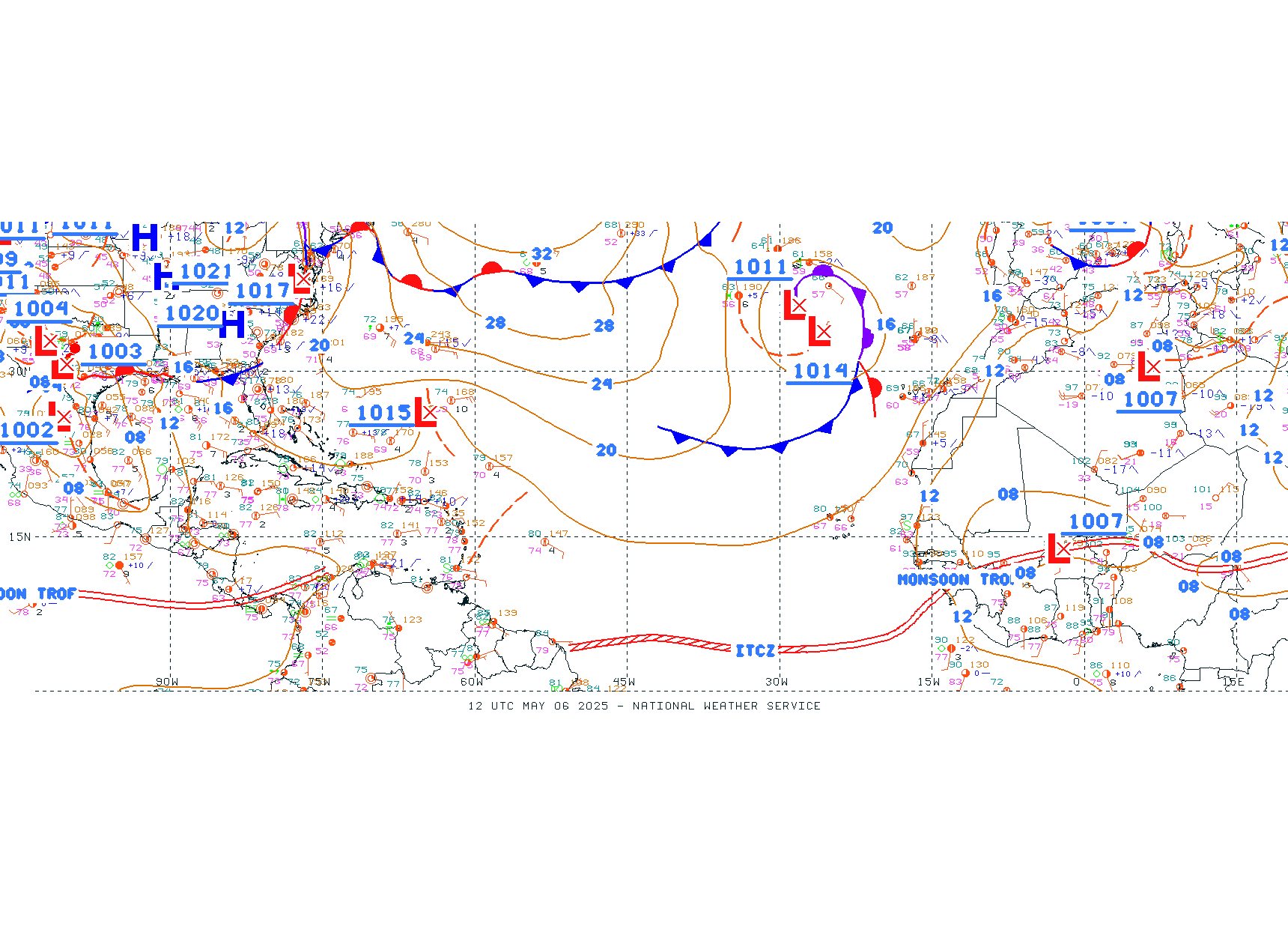
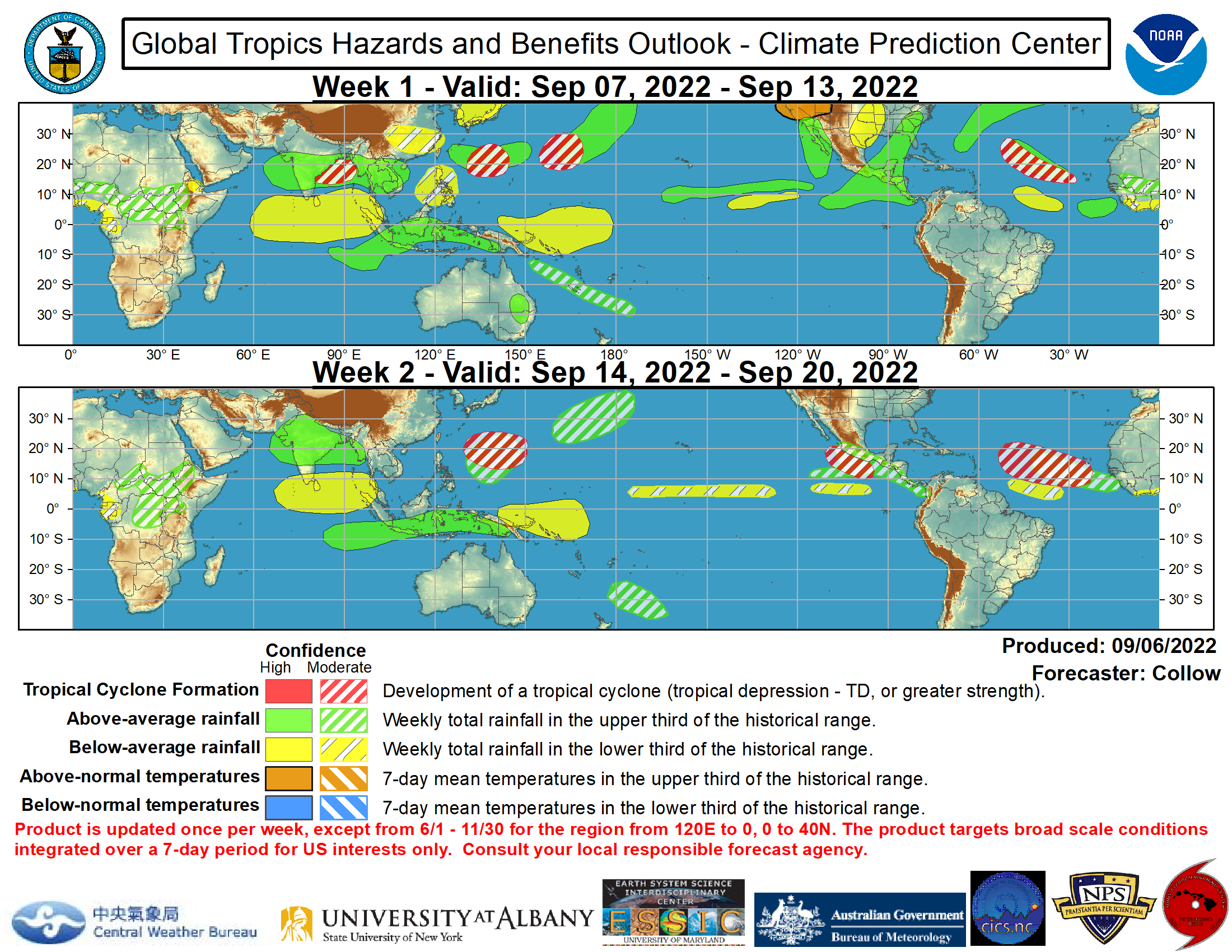


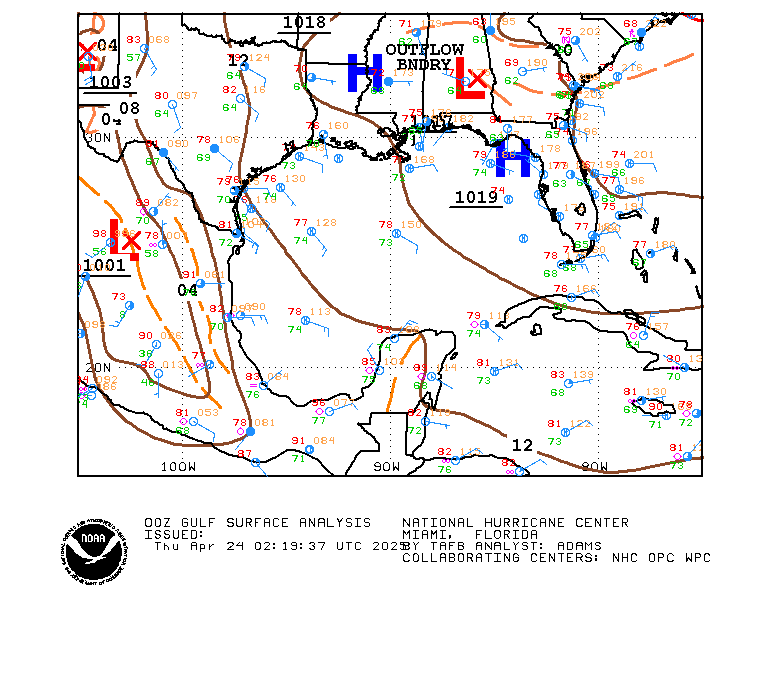
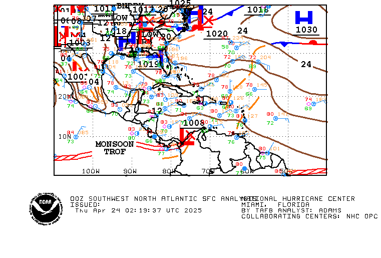
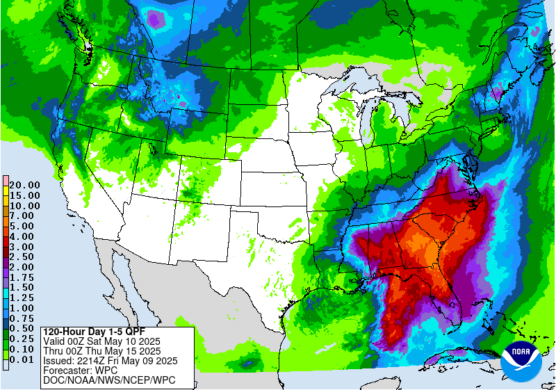
Some more interesting views

Have some more? Let us know in the comments below.
=======
Information:
Eastern Pacific Tropical Cyclones:

Recent Comments